Log in
All resources
Create a design
11,660 Free Images of Old Map
maps with cartouches
atlas van der hagen
maps made in the 17th century
fonds ancely - bibliothèque municipale de toulouse - maps
victor levasseur - maps of france
geographical illustrations by coronelli
atlantis magni tomus secundus (biblioteca comunale di trento)
old maps of the peloponnese
atlante veneto (raremaps.com) volume 1
old maps of islands of the aegean sea
geographical illustrations by coronelli
old maps of the peloponnese
atlante veneto (raremaps.com) volume 1
old maps of mediterranean sea
atlante veneto (raremaps.com) volume 2
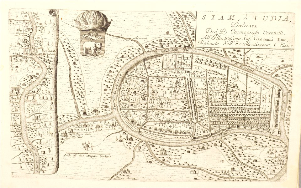
old maps of ayutthaya
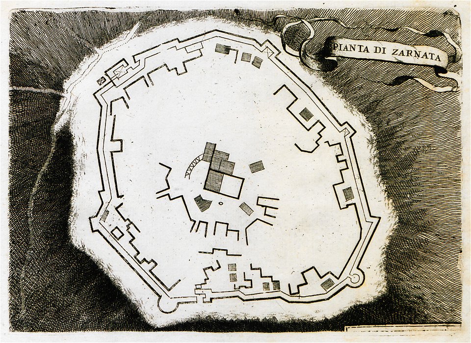
geographical illustrations by coronelli
old maps of the peloponnese
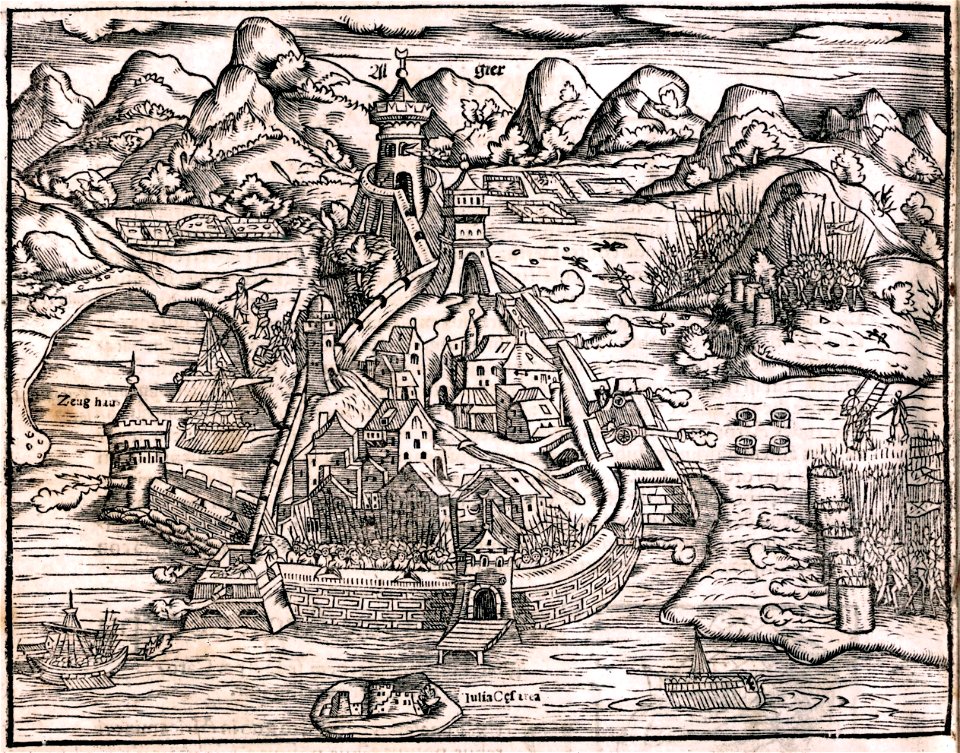
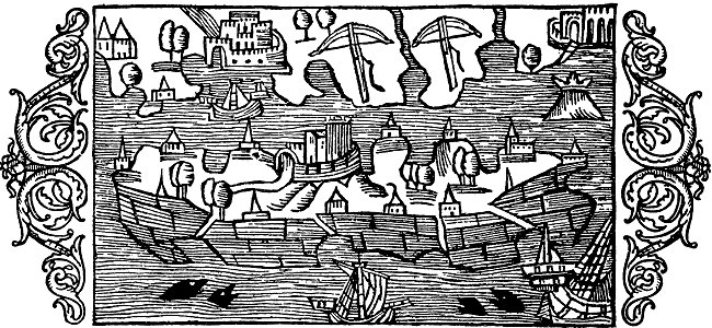
illustrations of cosmographia (münster)
historical images of algiers
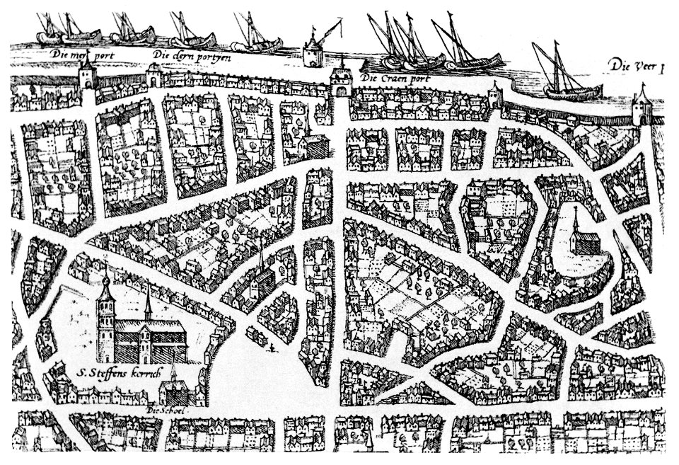
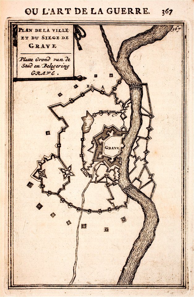
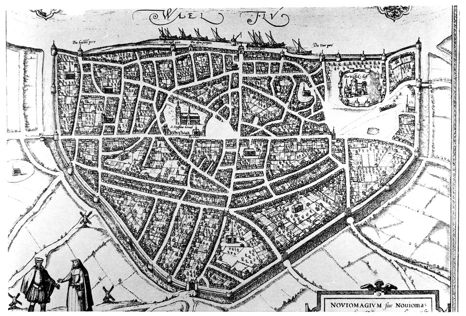
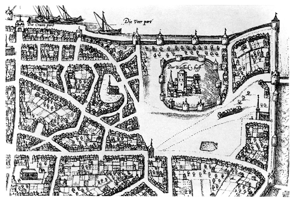
old maps of nijmegen
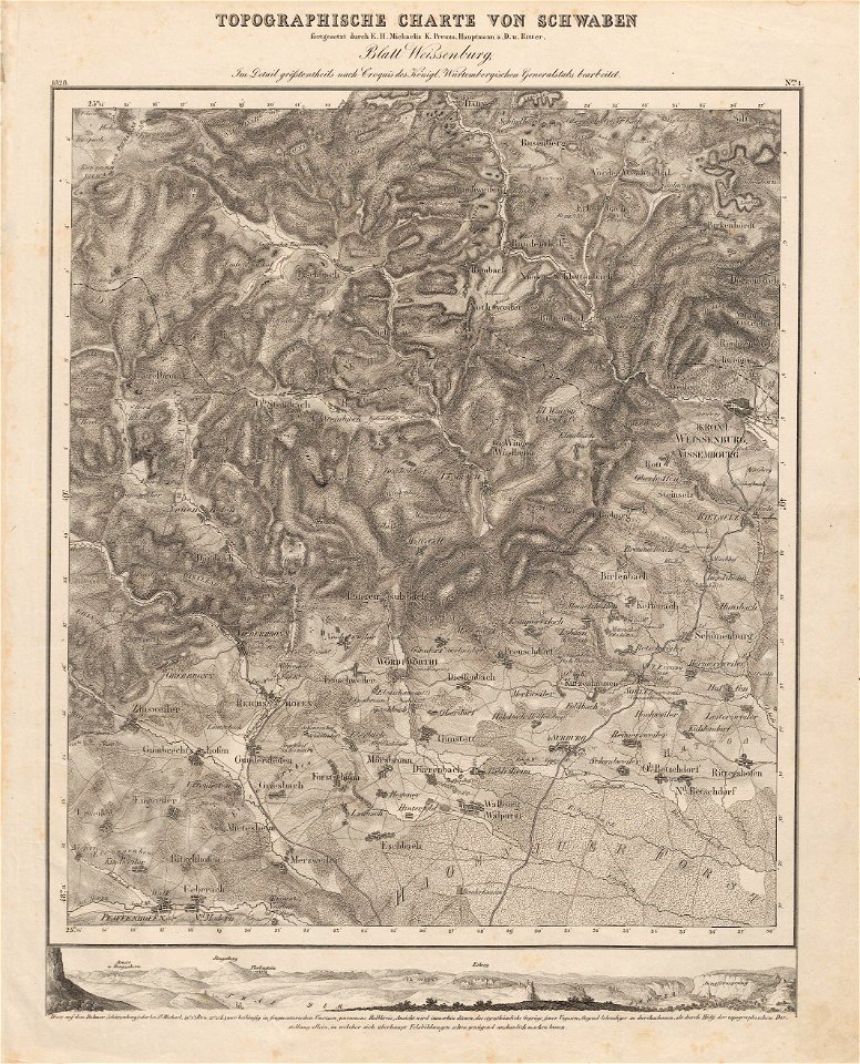
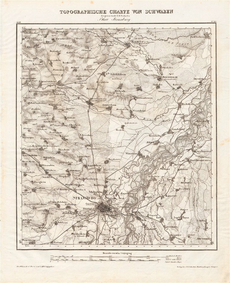
charte von schwaben (bohnenberger)
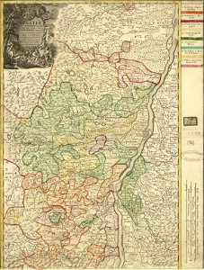
old maps of bas-rhin
historical images of solothurn
old maps of switzerland
bibliothèque municipale de reims
rès. g 152
copper engravings in the universitätsbibliothek salzburg
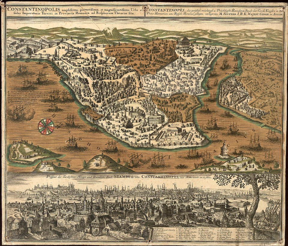
old maps of istanbul
description des principales villes (1690)
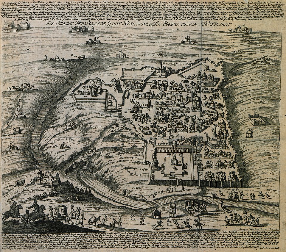
old maps of jerusalem
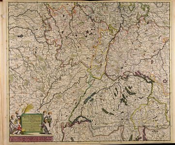
rhaetiae et valesiae
merian helvetiae
geographical illustrations by coronelli
old maps of the peloponnese
portolan charts by willem and johannes blaeu
old maps of scandinavia
old maps of islands of the aegean sea
bartolommeo dalli sonetti
old maps of islands of the aegean sea
bartolommeo dalli sonetti
old maps of islands of the aegean sea
bartolommeo dalli sonetti
sicilia (galleria delle carte geografiche)
old maps of sicily
sardinia (galleria delle carte geografiche)
old maps of sardinia
rhaetiae et valesiae
merian helvetiae
old maps of zürich
zürich
maps with cartouches
old maps of hesse
maps made in the 17th century
nicolaes visscher ii
maps made in the 16th century
old maps of lombardy
conflicts in 1672
netherlands
city walls of arras
history of arras
maps by samuel de champlain
old maps of galicia (spain)
historia de gentibus septentrionalibus
öland
maps made in the 18th century
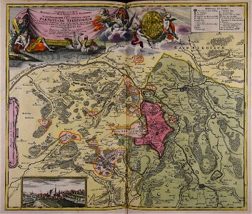
johann baptist homann
collections de la bibliothèque nationale et universitaire de strasbourg
johann baptist homann
fonds ancely - bibliothèque municipale de toulouse - maps
gustave bascle de lagrèze
historical images of luxembourg palace
jardin du luxembourg
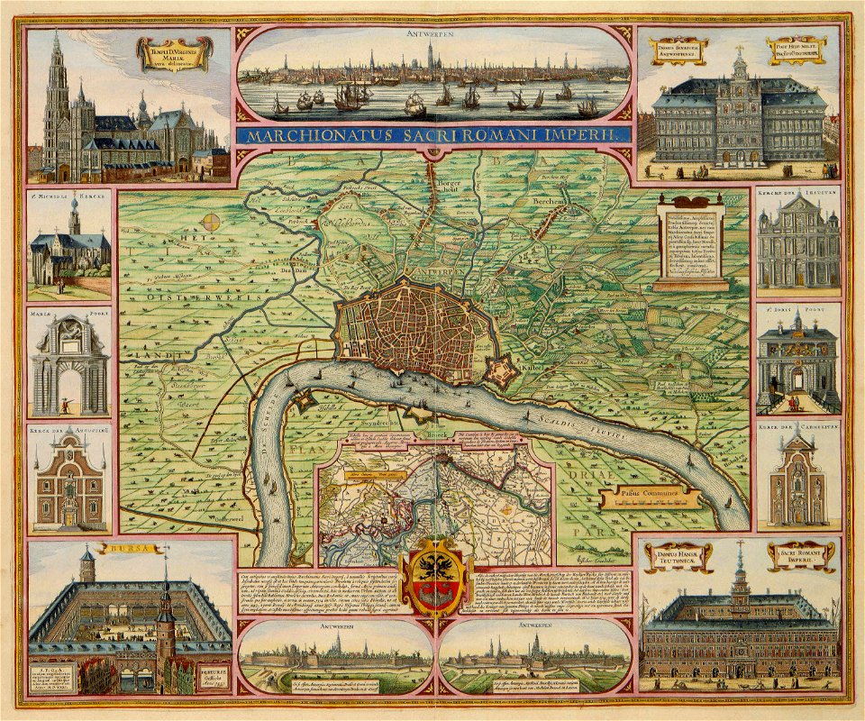
claes jansz. visscher (ii)
antwerp
cornell university library
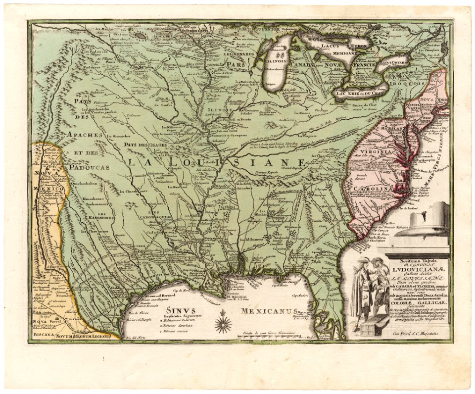
old maps of louisiana
maps made in the 17th century
gerard valck
maps with cartouches
atlas van der hagen
maps in the library of congress
old maps of louisiana
maps in the library of congress
old maps of louisiana
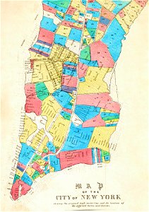
george hayward
new york city
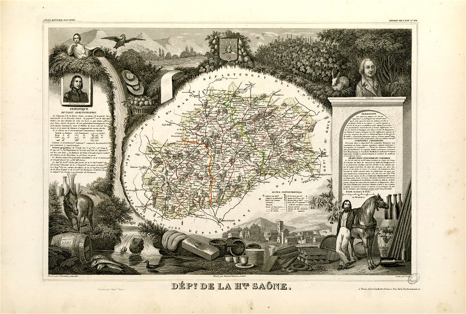
fonds ancely - bibliothèque municipale de toulouse - maps
coats of arms of vesoul
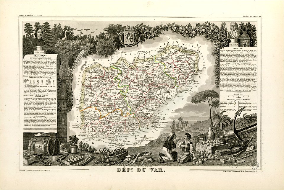
coats of arms of cities in var
old maps of var
maps made in the 17th century
gerard valck
travel
maps
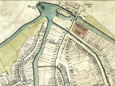
old maps of braunschweig
bammelsburg
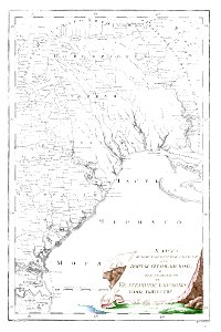
old maps of yekaterinoslav governorate
atlas of the russian empire (1792)
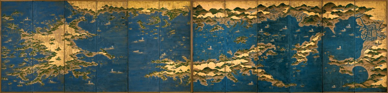
seto-naikai
old map
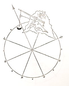
old maps of islands of the aegean sea
bartolommeo dalli sonetti
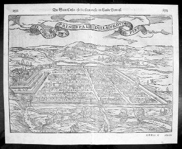
illustrations of cosmographia (münster)
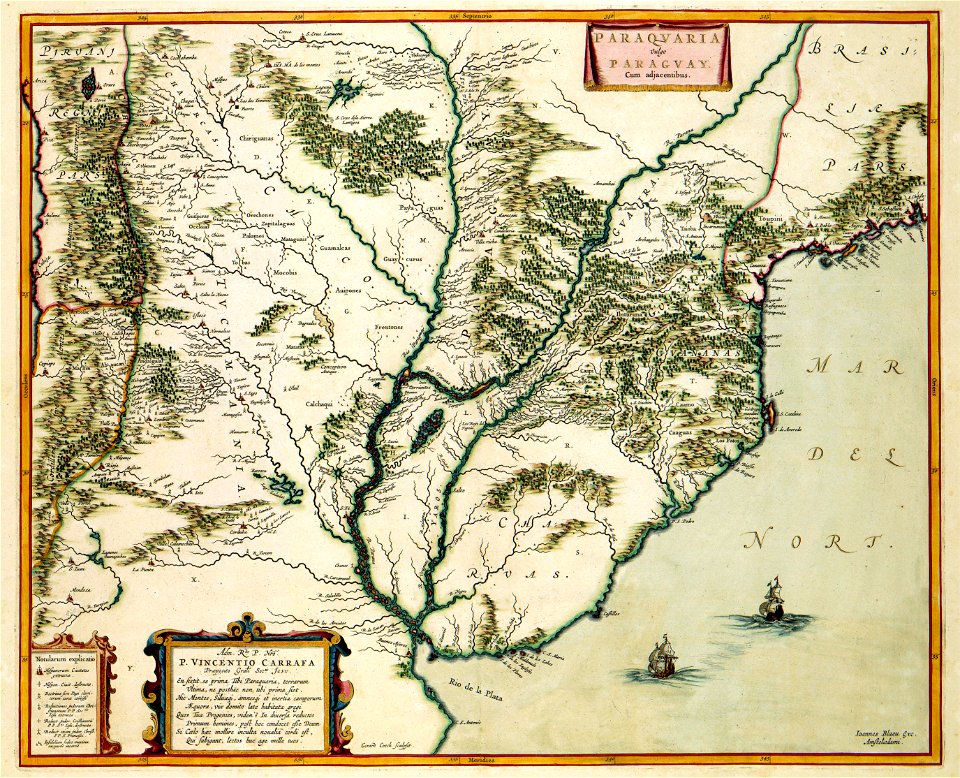
old maps of the viceroyalty of peru
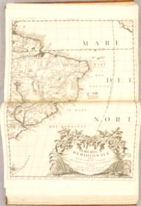
atlante veneto (raremaps.com) volume 1
old maps of south america
old maps of breda
atlas beudeker
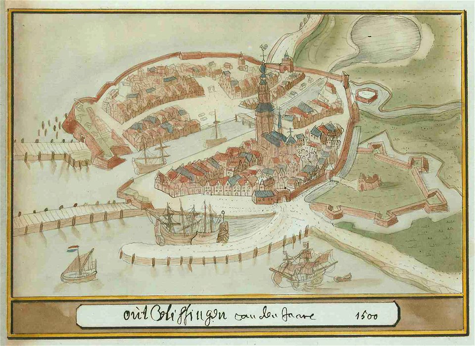
atlas schoemaker-zeeland
atlas schoemaker
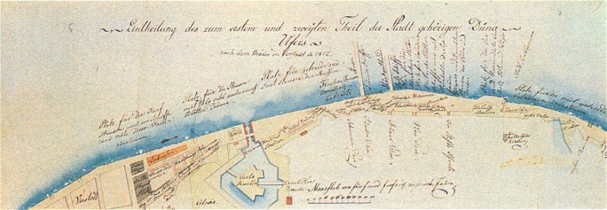
johann christoph brotze
old maps of riga
geographical illustrations by coronelli
athens in the ottoman era
atlante veneto (raremaps.com) volume 1
old maps of the atlantic ocean
atlante veneto (raremaps.com) volume 1
old maps of south america
geographical illustrations by coronelli
old maps of the peloponnese
historical images of minsk
old maps of minsk
old maps of nijmegen
old maps of nijmegen
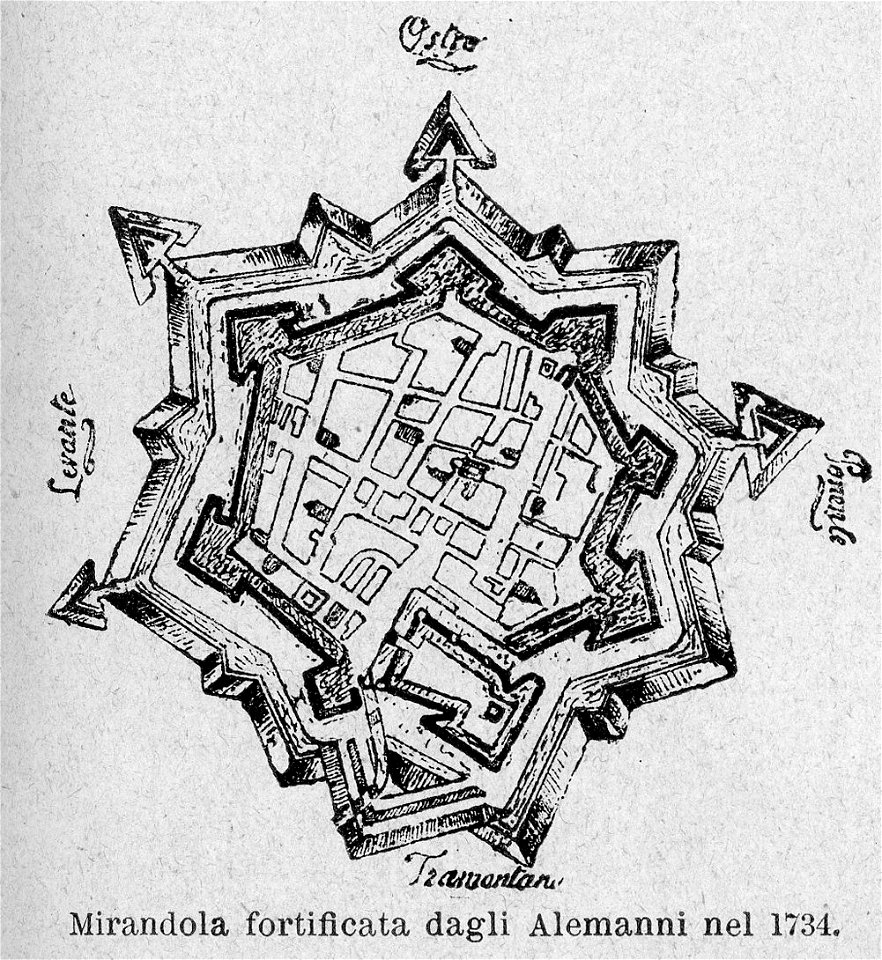
le cento città d'italia (modena)
old maps of mirandola
bibliothèque municipale de reims
rès. g 153
charte von schwaben (bohnenberger)
old maps of bas-rhin
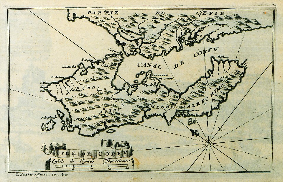
description des principales villes (1690)
old maps of corfu
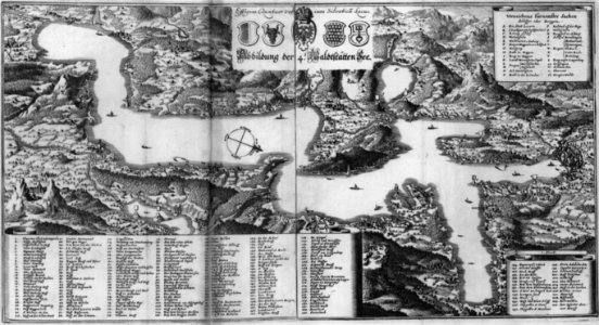
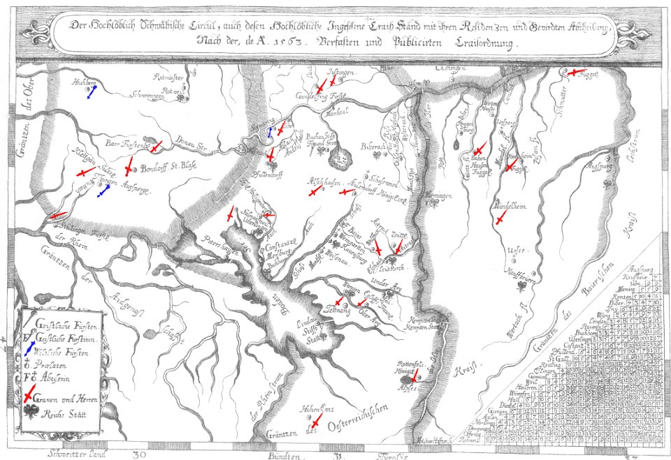
old maps of lake constance
nobility of swabia
collections of musée de la compagnie des indes
18th-century maps of indonesia
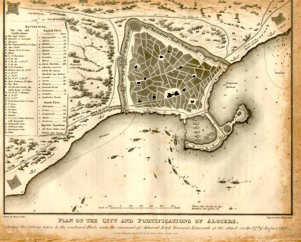
ottoman period in the history of algeria
1816 maps
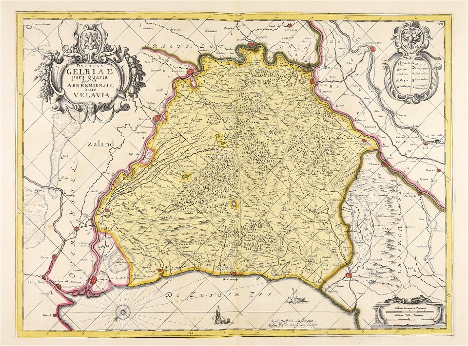
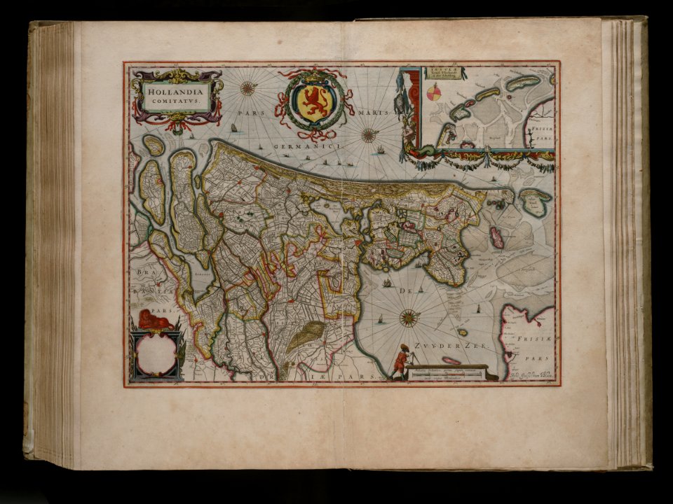
maps made in the 17th century
old maps of gelderland
bird's eye view maps of boston
boston
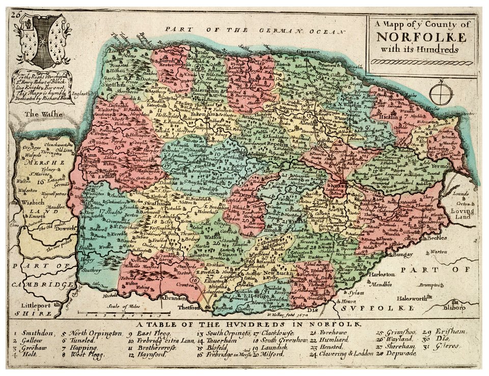
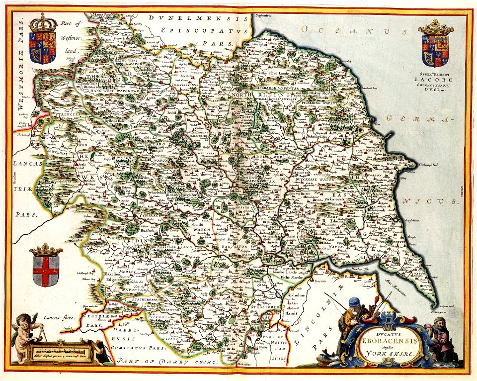
history of norfolk
england
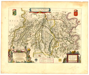
maps with cartouches
old maps of crete
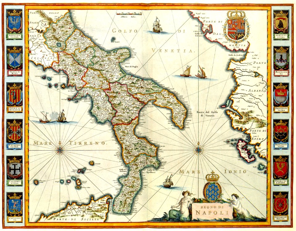
maps with cartouches
old maps of italy
maps made in the 17th century
old maps of alsace
historical images of solothurn
solothurn
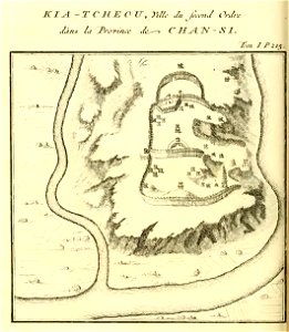
french-language maps of china
shaanxi
maps made in the 17th century
old maps of europe
bird's eye view maps of boston
boston
old maps of the sea of azov
1856 maps
atlantis magni tomus secundus (biblioteca comunale di trento)
maps made in the 17th century
maps with cartouches
atlas van der hagen
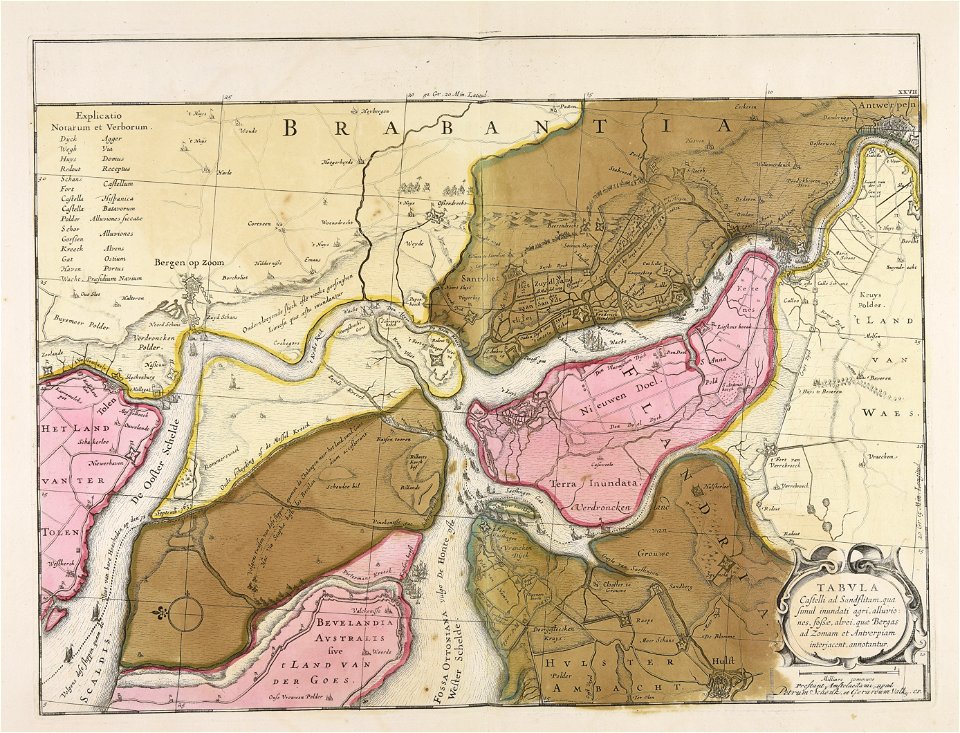
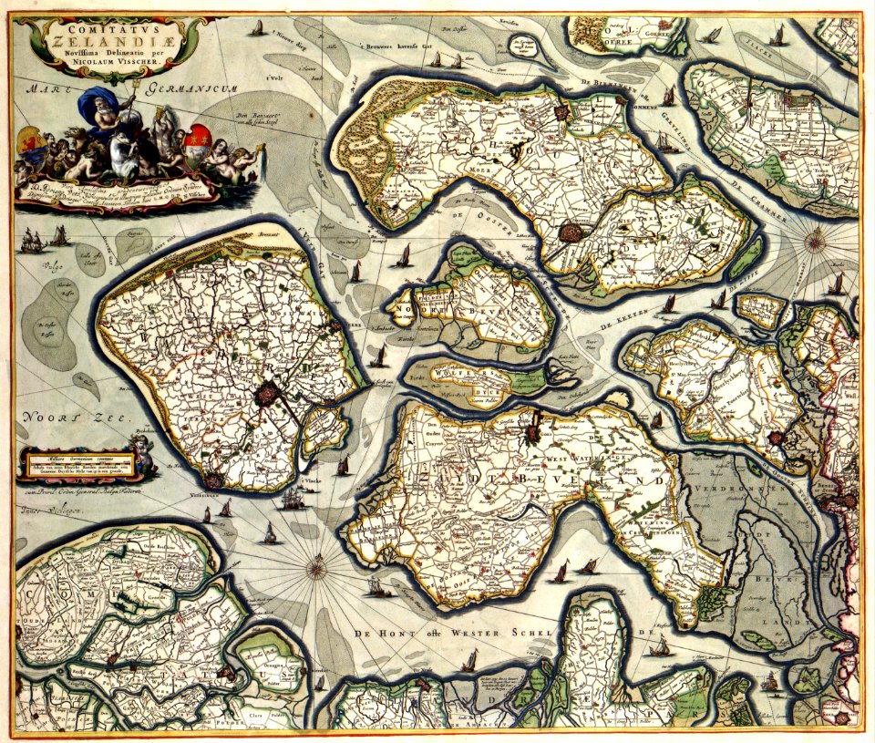
maps with cartouches
old maps of zeeland
atlas van der hagen (volume 4)
maps with cartouches
joan blaeu
old map
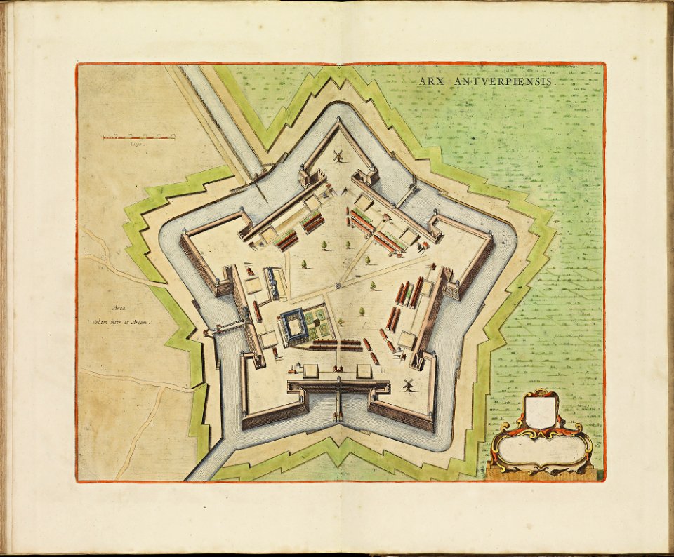
maps of antwerp city walls
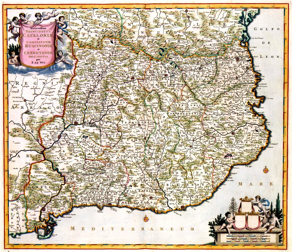
frederick de wit
atlas de wit 1698
frederick de wit
description de l'universe
old maps of cape verde
old maps of north rhine-westphalia
coats of arms on maps
background
maps
old maps of new france
maps by coronelli
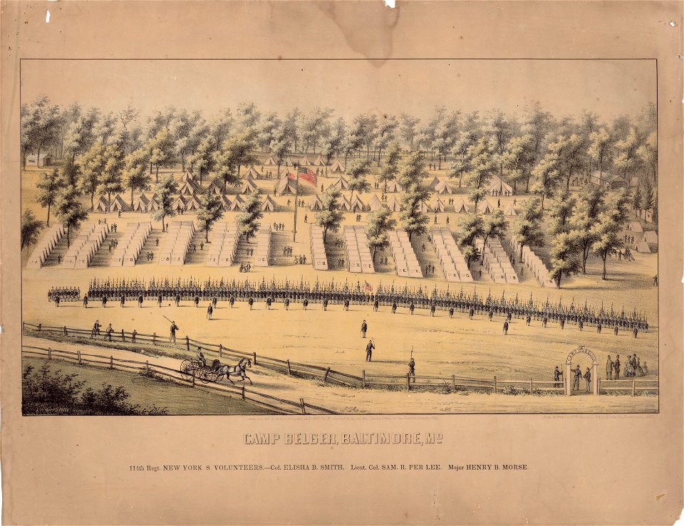
maps in the library of congress
old maps of baltimore
fonds ancely - bibliothèque municipale de toulouse - maps
old maps of aube
fonds ancely - bibliothèque municipale de toulouse - maps
frédéric-auguste laguillermie
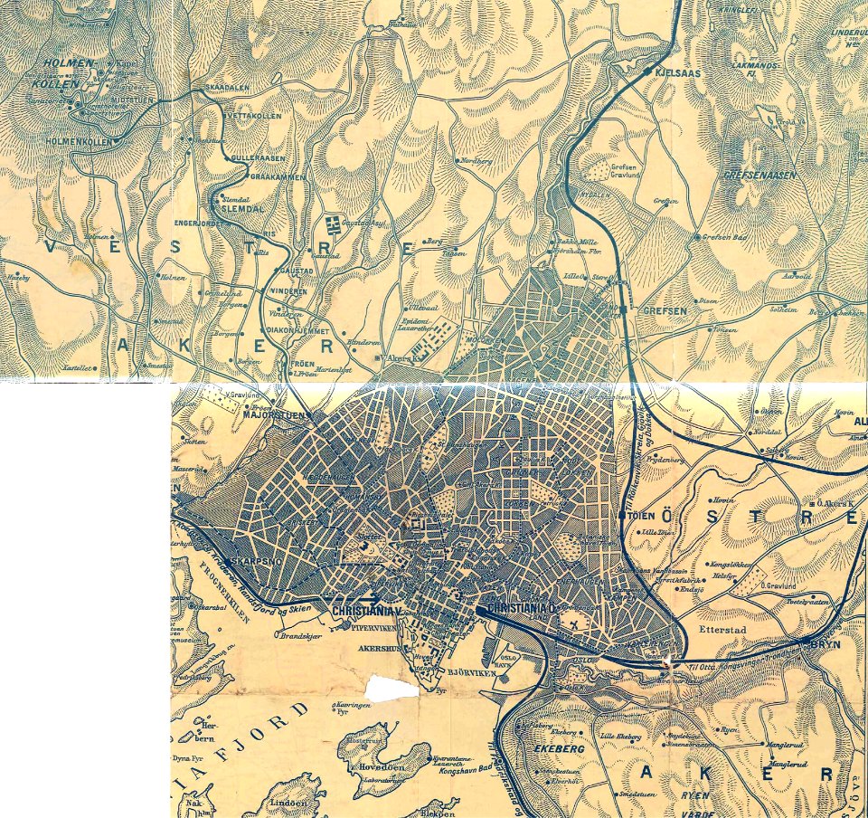
rail transport maps of norway
old oslo tram maps
maps in the library of congress
old maps of baltimore
maps by willem and johannes blaeu
maps made in the 17th century
fonds ancely - bibliothèque municipale de toulouse - maps
victor levasseur - maps of france
coats of arms of cities in indre
henri gatien bertrand
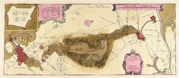
battle of the alte veste
1642 works in germany
maps with cartouches
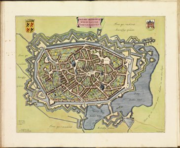
netherlands
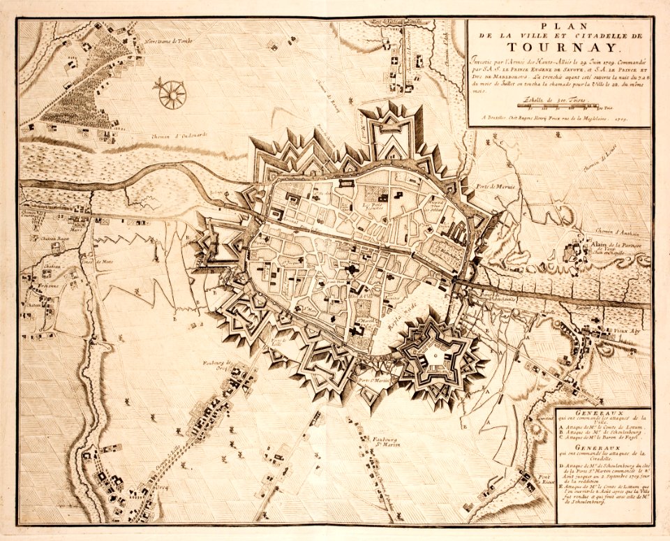
old maps of tournai
tournai
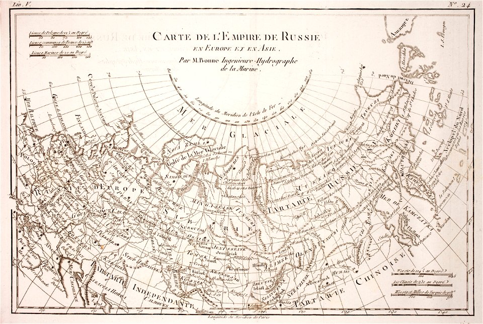
1780 maps of russia
bonne projection
3601 - 3700 of 11,660
Next page
/ 117